
Real Estate Due Diligence Just Got Intelligent!
Request a structured land report with ease in just a few clicks. Empowering property buyers, surveyors, and institutional investors with verified spatial coordinates, title charting, and boundary precision.

Virtual Real Estate Assistant
TwoNode Intelligent Due Diligence Engine
About REVA
REVA is a cutting-edge digital platform designed to simplify real estate due diligence. By providing structured and detailed reports on land parcels, REVA empowers users to make informed decisions without requiring GIS expertise. Experience seamless transactions and trusted due diligence insights with just a few clicks.
Zero GIS Expertise Required
Complex coordinate systems, cadastral projections, and statutory layers are translated into clear, human-readable verdicts.
Structured Land Parcel Reports
Receive standardized, audit-ready PDF reports with verified boundaries, acquisition details, and beacon accuracy.
Trusted Due Diligence in a Few Clicks
Fast, transparent intake whether through our full member dashboard or direct one-time requests.
Why Choose REVA?
Transforming complex land administration and surveyor records into crystal-clear property intelligence.
Comprehensive due diligence insights
Holistic evaluation of parcel legality, encumbrances, and statutory compliance in a single document.
Title Search
Rigorous verification against official land registry archives, gazettes, and excision records.
Charting Information
Precision coordinate plotting on statutory layout plans and committed government acquisition master maps.
Historical Survey Record
Chronological audit of prior lodgments, original beacon numbers, and partition lineages.
Map of the property
High-definition cartographic GIS overlay displaying clear boundary pillars, neighboring lots, and access roads.
Core Features
Engineered to protect property investments and accelerate transaction confidence.
Property Search
Multi-parameter query system searching land parcels by coordinates, survey plan number, or local cadastral records.
Due Diligence Report
Comprehensive executive report detailing acquisition status, government excisions, and zoning classifications.
Title Verification
Instant legal matching against state gazettes, committed government acquisitions, and statutory records.
Survey Analysis
Mathematical boundary closure validation, beacon coordinate verification, and exact parcel area measurement.
Risk Assessment
Predictive conflict detection highlighting potential road widening right-of-ways, drainage corridors, or boundary disputes.
How It Works
From raw survey coordinates to a comprehensive due diligence report in three simple steps.
Submit Request
Fill out the property details form with location and requirements.
Processing
Our team analyzes the property and gathers comprehensive data.
Receive Report
Download a detailed due diligence report.
Due Diligence Report Preview
Inspect actual sample pages from a certified REVA due diligence report — including root-of-title investigation, cadastral beacon verification, government acquisition charting, and physical planning approval.
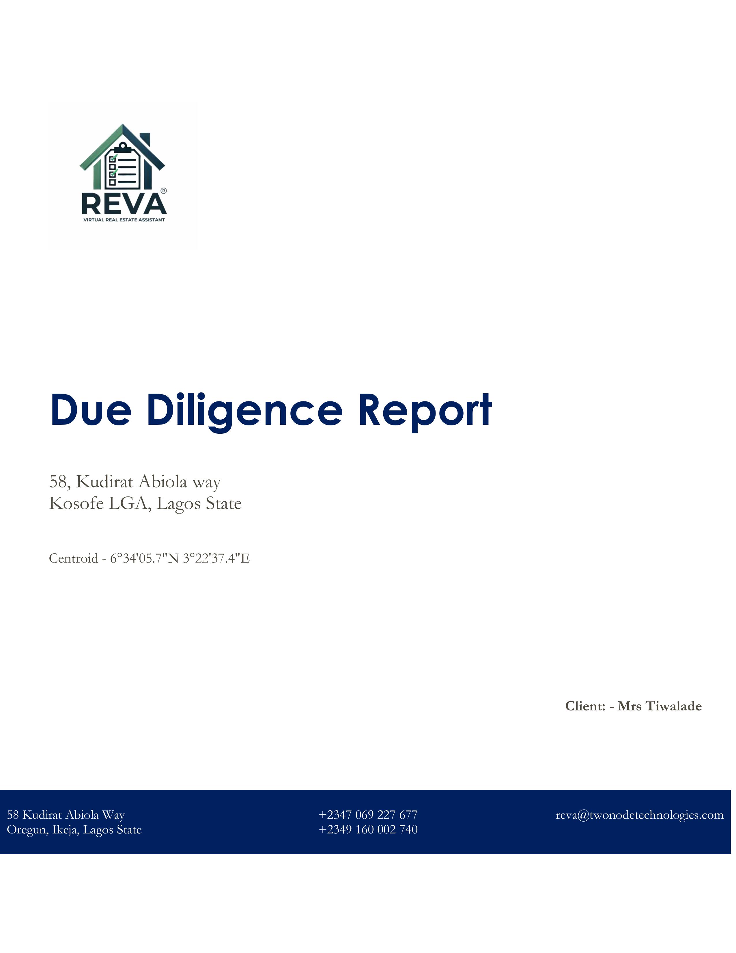
Executive Due Diligence Dossier
Official cover and executive summary displaying verified property address, centroid coordinates, administrative LGA boundaries, and client specifications.
Informed Decision
With REVA make quick and informed land investment decisions.